

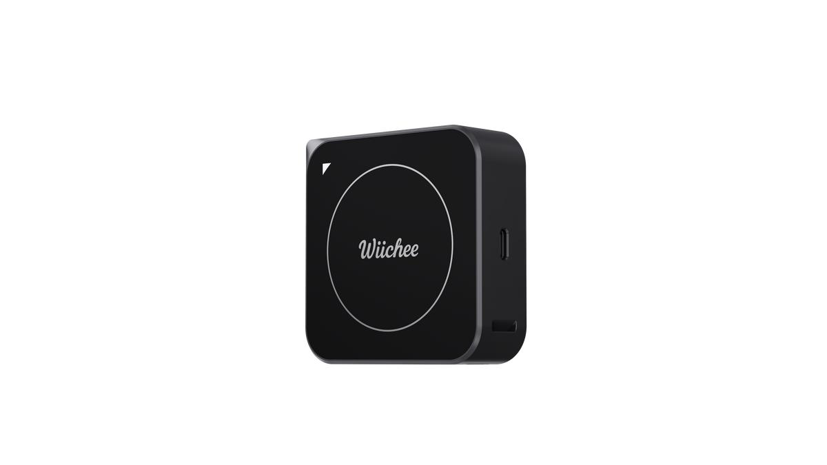
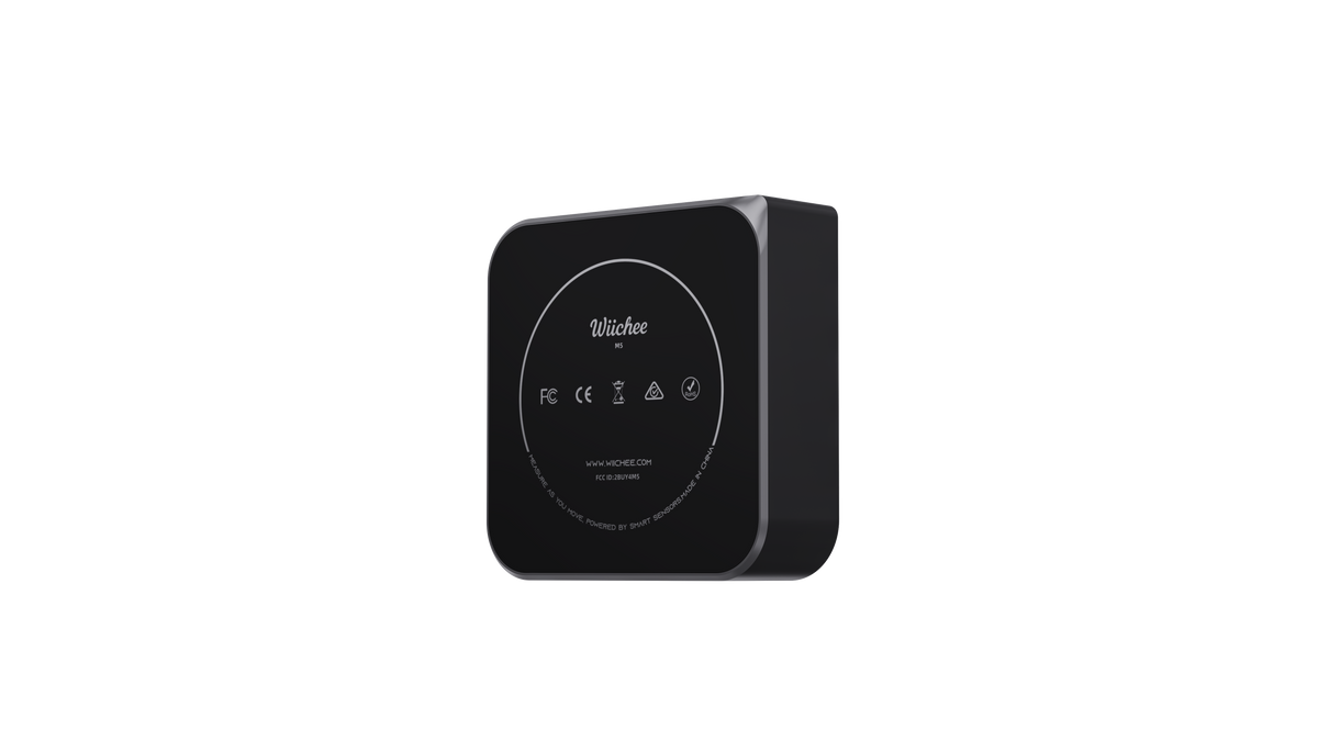
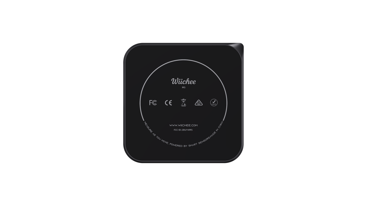
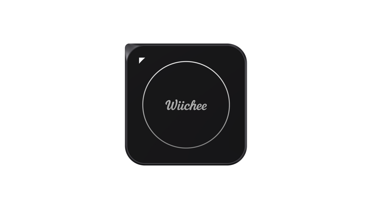
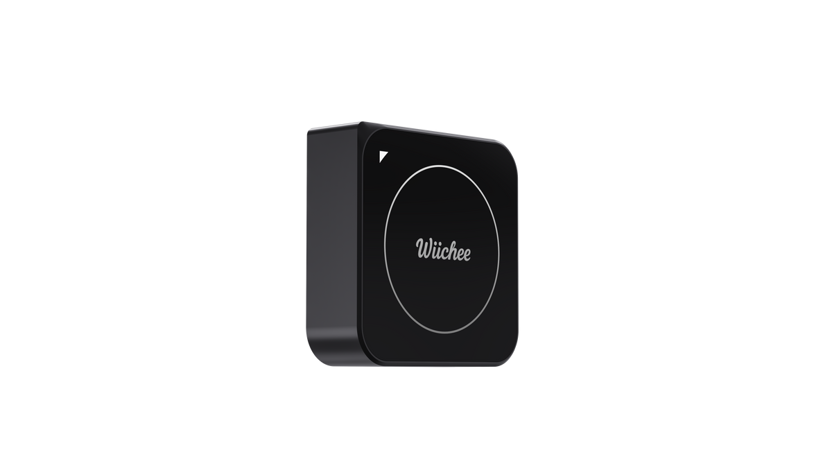
Wiichee

Learn more
Product specification
Showcase specifications about a product to help your customers making an informed decision about their purchase.
Value 1
Value 2
Value 3
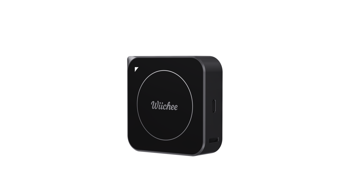
Access crucial site data in minutes with Wiichee M5
iscover the features that make the
Wiichee M5 suited for irregular jobsites.
Measure and draw complex jobsites at the same time
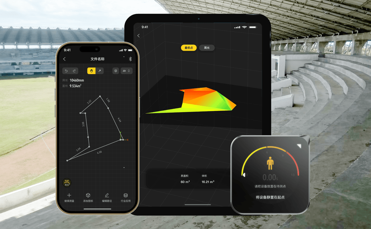
Moasure detects your movement in real time, allowing you to trace intricate, accurate site plans quickly on the Moasure app. Visualize your measurements in real-time as the app draws site plans as you walk.
Rapidly calculate sq. footage, elevation, volume and more
Moasure captures points every 6-8 seconds to create fully-dimensioned site plans. Automatically capture perimeter, area, volume, elevation, plus the rise and run between any two points on your site plan.

Instantly share professional plans with clients or colleagues
Once you’ve finished your measurement, effortlessly export it to a range of file formats. Share professional, custom-branded PDFs with clients, or import the measurement to your CAD software via DWG or DXF.

Powerful in-app tools for landscaping projects
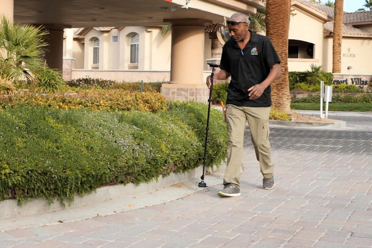
Utilize the Moasure app's powerful suite of tools and features to enhance your landscaping measurements.
Calculate elevation
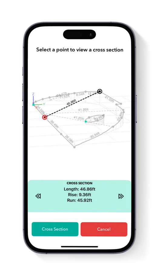
Determine the grade, angle, and rise and run between any two captured points with the Cross Section tool. Discover the elevation of any captured point by simply tapping on the data point, revealing the x, y and z data in relation to the starting point.
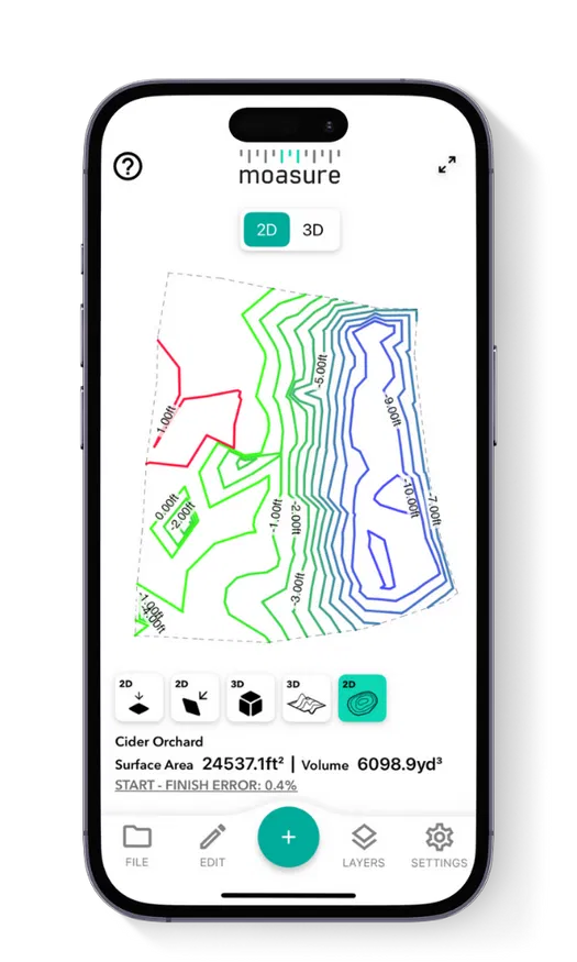
Contour View
The Contour View provides a 3D visualization of
the landscape's topography using Moasure's
captured elevation points, and helps you
understand the site's slopes and undulations.
View the site topography in 2D and 3D for even
more detailed visualization.
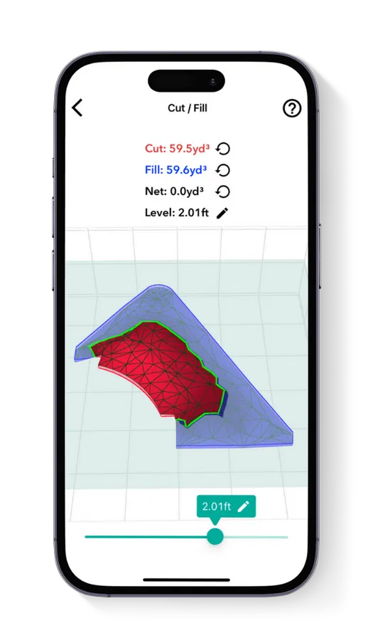
Cut / Fill tool
Calculate the volume of material needed to either
excavate (cut) or add (fill) to bring a site to the
desired level. Set your preferred level and
instantly see the volume required for adjustments.
The "zero net volume" feature shows the exact
level needed to avoid any material movement,
making it useful for leveling sites.
Add Depth tool
Designed for estimating material volumes based
on specific depths, this tool calculates how much
material (like sod, mulch or rock) is needed to
cover a given area at a set depth. lt's effective for
both flat and sloped sites, helping you avoid
overestimating material costs and ensuring
precise coverage.
FAQ
Use this text to share information about your product or shipping policies.
Do you ship overseas?
Yes, we ship all over the world. Shipping costs will apply, and will be added at checkout. We run discounts and promotions all year, so stay tuned for exclusive deals.
How long will it take to get my orders?
It depends on where you are. Orders processed here will take 5-7 business days to arrive. Overseas deliveries can take anywhere from 7-16 days. Delivery details will be provided in your confirmation email.
Any question?
You can contact us through our contact page! We will be happy to assist you.